
| Reference: | S22703 |
| Author | Thomas JEFFERYS |
| Year: | 1757 ca. |
| Zone: | Ischia |
| Printed: | London |
| Measures: | 200 x 260 mm |
| Reference: | S22703 |
| Author | Thomas JEFFERYS |
| Year: | 1757 ca. |
| Zone: | Ischia |
| Printed: | London |
| Measures: | 200 x 260 mm |
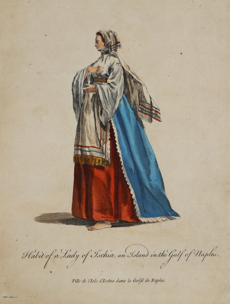
Feminine costume, taken from A Collection of the Dresses of Different Nations, Antient and Modern. Particularly the Old English Dresses. after the drawings of Holbein, Vandyke, Hollar, and others. With an account of the autoritates, from which the figures are taken; and some brief historical remarks on the subject. To which are added The Habits of the Principal Characters on the English Stage, a collection published by T. Jeffrerys.
The work include 480 numbered costume plates arranged in four volumes, published in English and French by Thomas Jefferys between 1757 and 1772. The plates are engraved by various artists, such as Charles Grignion and Joseph-Marie Vein.
Etching, finely hand-colored, in good condition.
Thomas JEFFERYS (ca.1719 – 1771)
|
"Geographer to King George III", was an English cartographer who was the leading map supplier of his day. He engraved and printed maps for government and other official bodies and produced a wide range of commercial maps and atlases, especially of North America. In 1754, Jefferys published a map of Virginia which had been surveyed by Joshua Fry and Peter Jefferson in 1751. The next year he published a Map of the Most Inhabited Part of New England surveyed by John Green, and in 1768 he published A General Topography of North America and the West Indies in association with Robert Sayer. In 1775, after his death, collections of his maps were published by Sayer as The American Atlas and The West-India Atlas.
|