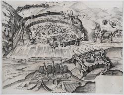
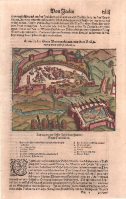
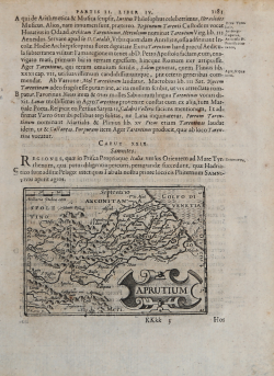
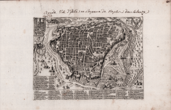
Civitella der Statt Ab contrafactur...
Sebastian Münster
Code:
S11368
Measures:
185 x 295 mm
Year:
1560 ca.
Printed:
Basle
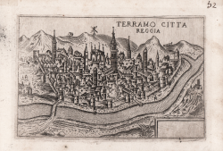
Terramo Citta Reggia
Francesco VALEGIO
Code:
S9536
Measures:
126 x 84 mm
Year:
1580 ca.
Printed:
Venice
Chietti Città Reggia
Francesco VALEGIO
Code:
S28231
Measures:
135 x 90 mm
Year:
1580 ca.
Printed:
Venice
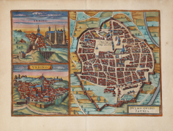
Urbino / Sulmo Ovidii Patria
Georg BRAUN & Franz HOGENBERG
Code:
S48878
Measures:
465 x 330 mm
Year:
1588 ca.
Printed:
Antwerpen & Cologne
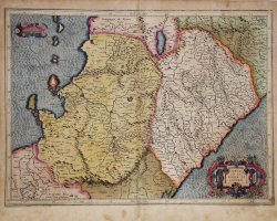
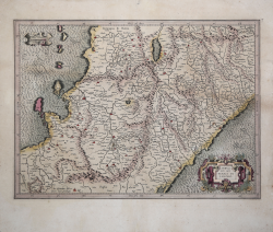
Abrvzzi et terra di Lavoro
Gerard MERCATOR (Kremer)
Code:
S27294
Measures:
485 x 360 mm
Year:
1589 ca.
Printed:
Duisburg
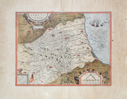
Aprutii Ulterioris Descriptio
Abraham ORTELIUS
Code:
S46112
Measures:
423 x 328 mm
Year:
1590 ca.
Printed:
Antwerpen
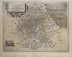
Abruzzo Ulteriore Regione del Regno di Napoli
Giovanni Antonio MAGINI
Code:
4083
Measures:
460 x 350 mm
Year:
1595 ca.
Printed:
Bologna
Abruzzo Ulteriore Regione del Regno di Napoli
Giovanni Antonio MAGINI
Code:
S40999
Measures:
465 x 355 mm
Year:
1595 ca.
Printed:
Bologna
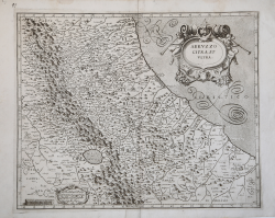
Abruzzo Citra et Ultra
Giovanni Antonio MAGINI
Code:
S40174
Measures:
465 x 375 mm
Year:
1602 ca.
Printed:
Bologna
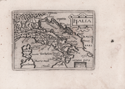
Italia/Aprvcivm
Cyprian EICHOVIUS
Code:
s26612
Measures:
130 x 100 mm
Year:
1603 ca.
Printed:
Cologne
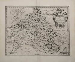
Abruzzo et Terra di Lavoro.
Gerard MERCATOR (Kremer)
Code:
S40175
Measures:
490 x 355 mm
Year:
1619
Printed:
Amsterdam
Sabinorum et Marsorum Agri descriptio auctore Philippo Cluverio
Philipp CLUVER
Code:
S42703
Measures:
360 x 280 mm
Year:
1624
Printed:
Leyden
Abruzzo et Terra di Lavoro
Johannes JANSSONIUS
Code:
S48175
Measures:
200 x 150 mm
Year:
1628 ca.
Printed:
Amsterdam
Abruzzo Citra, et Ultra
Willem Janszoon BLAEU
Code:
S39650
Measures:
500 x 380 mm
Year:
1640 ca.
Printed:
Amsterdam
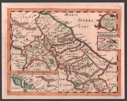
Sabini et eoru(m) Proles
Philippe BRIET
Code:
s29543
Measures:
200 x 160 mm
Year:
1649
Printed:
Paris
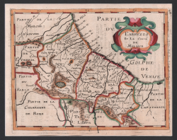
L'Abruzzo et Le Conté de Molisse
Philippe BRIET
Code:
s29573
Measures:
200 x 160 mm
Year:
1649
Printed:
Paris

