

| Reference: | CO-621 |
| Author | Pieter van den Keere KAERIUS |
| Year: | 1676 |
| Zone: | Lazio |
| Printed: | Amsterdam |
| Measures: | 200 x 160 mm |


| Reference: | CO-621 |
| Author | Pieter van den Keere KAERIUS |
| Year: | 1676 |
| Zone: | Lazio |
| Printed: | Amsterdam |
| Measures: | 200 x 160 mm |
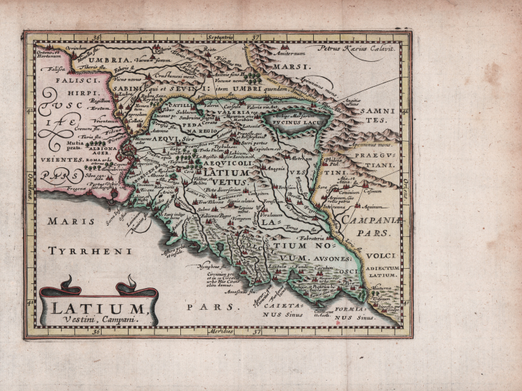
Map of Tuscia taken from Philippi Cluverii Introductionis in Universam Geographiam printed in 1676 an illustrated with 46 maps by Petrus Kaerius (Pieter van der Keer).
Philip Cluver’s Introductionis is considered the standard geographical text-book of the seventeenth century, as he is known as the father of modern historical geography. The Introductionis was published numerous times between 1624 and 1729 with each successive edition becoming more elaborate and the later editions including finely engraved maps. This edition was published by Johann Jansson van Waesbergen. About half the maps are classical ones derived from Abraham Ortelius' Parergon.
The map is derived from Abraham Ortelius' Latium, published in the "Parergon" in 1595.
Etching with later hand colour, light waterstains, otherwise good condition.
Bibliografia
G. King, Miniature Maps, (1st ed.) p. 186; King (2nd ed.) pp. 128-29.
Pieter van den Keere KAERIUS (Ghent 1571 - 1646 circa)
|
Engraver, publisher and bookseller of globes in-law of Jodocus Hondius was a student, with whom he worked closely. Among the other was half-brother Petrus Bertius and uncle of Abraham Goos. End engraver of maps worked with all active publishers in Amsterdam in the first half of the sixteenth century.
|