

| Reference: | S46650 |
| Author | Jacques Nicolas BELLIN |
| Year: | 1736 |
| Zone: | Korea |
| Printed: | Paris |
| Measures: | 173 x 300 mm |


| Reference: | S46650 |
| Author | Jacques Nicolas BELLIN |
| Year: | 1736 |
| Zone: | Korea |
| Printed: | Paris |
| Measures: | 173 x 300 mm |
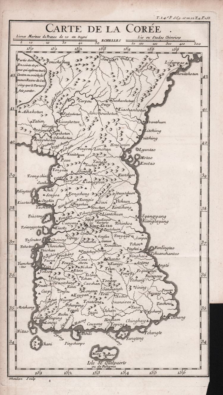
A rare map of Korea in 18th century, engraved by Guilluame Dheulland in Paris. The map is based on the map of Korea published by D’Anville in his atlas of China.
Map taken from the early editon of the Histoire et description générale du Japon by Pierre-François-Xavier de Charlevoix, printed A Paris, Chez Julien-Michel Gandouin, 1736.
Copperplate, very good condition.
Jacques Nicolas BELLIN (1703 - 1772)
|
Jacques-Nicolas Bellin (1703 - 1772) was one of the most important cartographers of the 18th century.
With a career spanning some 50 years, Bellin is best understood as transitional mapmaker spanning the gap
between 18th and early 19th century cartographic styles. His long career as Hydrographer and Ingénieur
Hydrographe at the French Dépôt des cartes et plans de la Marine resulted in hundreds of high quality
nautical charts of practically everywhere in the world. Bellin's work focuses on function and accuracy
tending in the process to be less decorative than the earlier 17th and 18th century cartographic work. In
addition to numerous maps and charts published during his lifetime, many of Bellin's maps were updated
(or not) and published posthumously. He was succeeded as Ingénieur Hydrographe by his student, also a prolific and influential cartographer, Rigobert Bonne.
|