

| Reference: | S29280 |
| Author | Jean de BEAURAIN |
| Year: | 1734 |
| Zone: | Mantova |
| Printed: | Paris |
| Measures: | 710 x 585 mm |


| Reference: | S29280 |
| Author | Jean de BEAURAIN |
| Year: | 1734 |
| Zone: | Mantova |
| Printed: | Paris |
| Measures: | 710 x 585 mm |
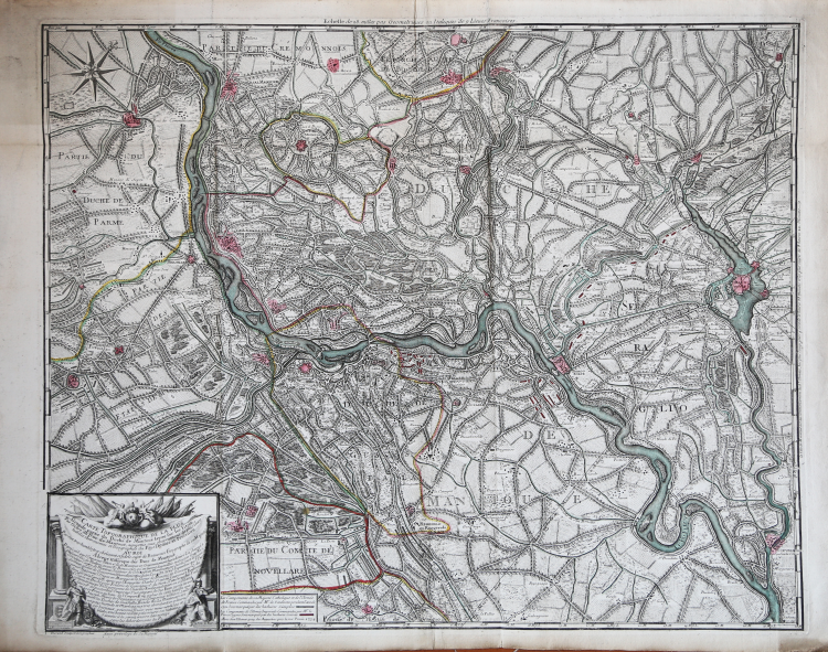
Rare Beaurain map showing the area around the Po River, to the west of Mantova, published by Jean De Beaurain in Paris.
The map shows the area in remarkable detail, including roads, bridges smaller rivers, towns and the encampments of 1702 in red and green.
The map is quite scarce. Copperplate with original outline colur, laid down on canvas, good conditions.
|
D. Ferrari, ""Mantova nelle stampe", p. 164, 345.
|
Jean de BEAURAIN(1696 - 1772)
|
D. Ferrari, ""Mantova nelle stampe", p. 164, 345.
|
Jean de BEAURAIN(1696 - 1772)