

| Reference: | S42649.18 |
| Author | Pietro & Giuseppe VALLARDI |
| Year: | 1830 ca. |
| Zone: | Persia |
| Printed: | Milan |
| Measures: | 73 x 105 mm |


| Reference: | S42649.18 |
| Author | Pietro & Giuseppe VALLARDI |
| Year: | 1830 ca. |
| Zone: | Persia |
| Printed: | Milan |
| Measures: | 73 x 105 mm |
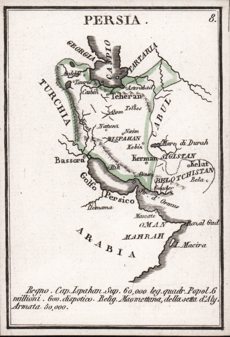
Rare miniature map taken from the Piccolo Atlante per la Gioventu composte di 40 tavole geografiche con la descrizione delle Superficie, popolazioni, religioni, forma di governo, rendite, armate, ed altre notizie storico statistiche by Pietro & Giuseppe Vallardi, published in Milan, circa 1830.
The atlas consists of a title and forty maps each printed on thick card. The cards are divided into four sets: Europe, Asia, America, and Africa; with each set containing nine regional maps of the most prominent countries. As the title states, each map gives information upon the geography, population, religion, government, revenues and military strength.
Although the atlas is not dated, an approximate date maybe ascertained from the map of Argentina and Uruguay. Upon the map Argentina is named the ‘Confederazione del Rio della Plata’. The United Provinces of Rio de la Plata was an early name for the newly independent Argentina. The name was dropped by the end of the 1820s in favour of Argentina. The map also shows an independent Uruguay, which gained its independence at the Treaty of Montevideo in 1828.
The Vallardis were a family of renowned Milanese publishers. The progenitor Francesco (1736-1799) was succeeded by his sons Pietro, Santo Francesco, Giuseppe, and Cesare Paolo. In 1812 Pietro (1770-1819) and Giuseppe (1784-1861) remained in partnership, naming (1812) the firm the Fratelli Vallardi, distinguishing themselves in the publication of art books and prints. From 1818 Giuseppe, who remained the sole owner, also gave great impetus to the intaglio trade.
Etching, contemporary coloring of the outlines, in very good condition.
Pietro & Giuseppe VALLARDI
Pietro & Giuseppe VALLARDI