

| Reference: | S4407 |
| Author | Tobias LOBECK & Tobias Conrad LOTTER |
| Year: | 1762 ca. |
| Zone: | Silesia |
| Printed: | Ausburg |
| Measures: | 127 x 105 mm |


| Reference: | S4407 |
| Author | Tobias LOBECK & Tobias Conrad LOTTER |
| Year: | 1762 ca. |
| Zone: | Silesia |
| Printed: | Ausburg |
| Measures: | 127 x 105 mm |
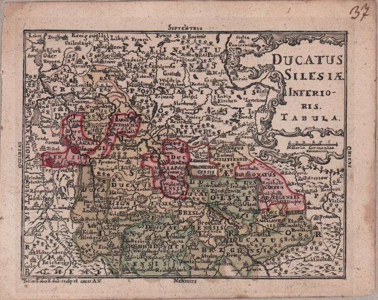
A small map taken from the "Atlas geographicus portabilis XXIX mappis orbis habitabilis regna exibens" by Lobeck.
Rare portable atlas, in contemporary colouring. Of remarkable taste and elegance, the frontispiece and title page, engraved by Tobias Lobeck on Gottfried Eichler's design. The maps are engraved by Tobias Lotter from the drawings of Tobias Lobeck.
Copperplate with original hand colour, refreshed, in good conditions.
Bibliography: Nordenskiold 2, 135; Phillips Atlases 632. Tooley's dictionary of mapmakers, 397, 401.
Tobias LOBECK & Tobias Conrad LOTTER
|
German publisher and engraver who married the daughter of the elder Matthaus Seutter. He engraved many of Seutter’s maps and eventually succeeded to the business in 1756, becoming one of the better known cartographers in the eighteenth-century German School. After his death the business was carried on by his son, M. A. Lotter
c.1744 Atlas Minor
1760 -62 Atlas Geographicus portabilis
c.1770 Atlas Novus
1776 A map of the most inhabited part of New England
1778 Atlas Geographique
1778 (M.A. Lotter) World Map showing Cook’s voyages
|