

| Reference: | S0140 |
| Author | WAJNTRAUB E.& G. |
| Year: | 1992 |
| Measures: | 230 x 290 mm |


| Reference: | S0140 |
| Author | WAJNTRAUB E.& G. |
| Year: | 1992 |
| Measures: | 230 x 290 mm |
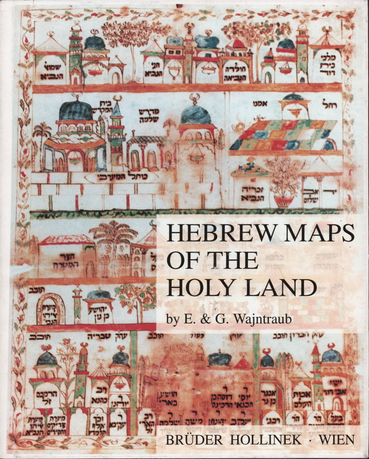
A description and analysis of existing Hebrew maps of ancient Israel and the greater Middle East.
Sets out to provide a guide for collectors while describing the geographical thinking of Jewish scholars and cartographers.
Volume bound in blue cloth with silver lettering; profusely illustrated with reproductions of Hebrew maps held in many collections and libraries around the world.
Physical description: 277 pp.
Publisher: Bruder Hollinek - Wien, first edition, 1992.
SBN: 3-85119-248-6
Language: English
WAJNTRAUB E.& G.
WAJNTRAUB E.& G.