

| Reference: | S48055 |
| Author | John BLAIR |
| Year: | 1754 |
| Zone: | Sicily |
| Printed: | London |
| Measures: | 570 x 430 mm |


| Reference: | S48055 |
| Author | John BLAIR |
| Year: | 1754 |
| Zone: | Sicily |
| Printed: | London |
| Measures: | 570 x 430 mm |
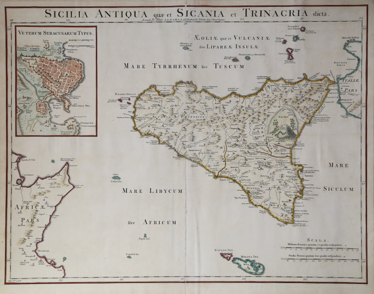
This is a handsome and detailed map of ancient Sicily, extending to include numerous surrounding islands and the tip of Italy and Tunisia. The map depicts towns, roads, rivers, mountains, and a huge, flaming Mt. Etna. At top left is a large inset with a bird's-eye plan of Syracuse.
Gorgeous large format map centered on the island of Sicily, with a large inset town plan of Ancient Syracuse. Includes a number of Islands, including Malta, Ustica and Stromboli. Highly detailed depiction of Sicily, including Mount Aetna in full volcanic eruption. Shows towns, mountains, rivers, roads, lakes, islands, harbors, etc. The inset plan of Syracuse is one of the few large format maps of Syracuse to appear during the period.
From John Blair's Chronology and History of the World, first published in 1754.
Etching with late hand colour, good condition.
Bibliografia
V. Valerio, Sicilia 1477-1861, p. 380, n. 184.
John BLAIR(1725 - 1783)
John BLAIR(1725 - 1783)