

| Reference: | S29341 |
| Author | Pieter VANDER AA |
| Year: | 1714 ca. |
| Zone: | The Balkans |
| Printed: | Leyden |
| Measures: | 195 x 145 mm |


| Reference: | S29341 |
| Author | Pieter VANDER AA |
| Year: | 1714 ca. |
| Zone: | The Balkans |
| Printed: | Leyden |
| Measures: | 195 x 145 mm |
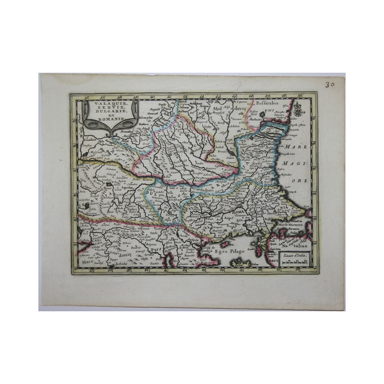
A very rare map taken from the "Nouveau Petit Atlas - Atlas soluagé de son gros pesant fardeau" printed in Leiden circa 1714.
The atlas is very rare and only one complete copy is known in the library of Leiden, while Burden old only the first volume. The atlas is composed of nine parts: a general part "Nouveau Petit Atlas" and 8 parts with maps of a certain region each titled "Atlas soulagé de son gros & pesant fardeau". Almost all maps are printed from reworked plates of Janssonius's "Atlas Minor".
The titles and scale were translated into French. The cartouches have been modernized and windrose added. Copperplate with contemporary outline colour, perfect conditions. Great rarity.
|
Van der Krogt, Koeman's Atlas Neerlandici, Vol. III B, pp. 561/570, 352:51.
|
Pieter VANDER AA (1659 - 1733)
|
Records show that van der Aa, born in Leyden in 1659, made an early start in life by being apprenticed to a bookseller at the age of nine and starting on his own in business as a book publisher by the time he was twenty-three.
During the following fifty years he published an enormous amount of material, including atlases and illustrated works in every shape and size, two of them consisting of no less than 27 and 28 volumes containing over 3,000 maps and plates.
Most of his maps were not of the first quality and were certainly not original, but they are often very decorative and are collected on that account.
|
|
Van der Krogt, Koeman's Atlas Neerlandici, Vol. III B, pp. 561/570, 352:51.
|
Pieter VANDER AA (1659 - 1733)
|
Records show that van der Aa, born in Leyden in 1659, made an early start in life by being apprenticed to a bookseller at the age of nine and starting on his own in business as a book publisher by the time he was twenty-three.
During the following fifty years he published an enormous amount of material, including atlases and illustrated works in every shape and size, two of them consisting of no less than 27 and 28 volumes containing over 3,000 maps and plates.
Most of his maps were not of the first quality and were certainly not original, but they are often very decorative and are collected on that account.
|