Title Pages, Allegories, Cartographic Curiosities
Title Pages, Allegories, Cartographic Curiosities
Showing 1-20 of 56 item(s)
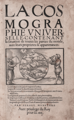
Sebastian Münster
Code:
S48000
Measures:
185 x 310 mm
Year:
1552
Printed:
Basle
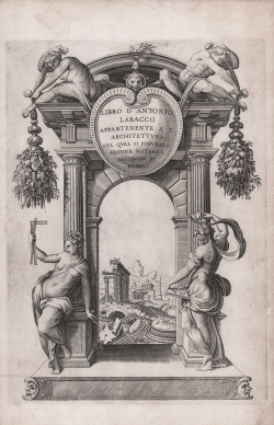
Antonio LABACCO
Code:
A54386
Measures:
240 x 335 mm
Year:
1552 ca.
Printed:
Rome
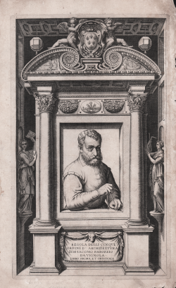
Jacopo Barozzi detto il VIGNOLA
Code:
A54400
Measures:
220 x 365 mm
Year:
1562
Printed:
Rome
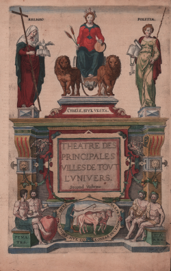
Georg BRAUN & Franz HOGENBERG
Code:
S39500
Measures:
235 x 350 mm
Year:
1572
Printed:
Antwerpen & Cologne
Georg BRAUN & Franz HOGENBERG
Code:
S44375
Measures:
225 x 360 mm
Year:
1572 ca.
Printed:
Antwerpen & Cologne
Philippe GALLE
Code:
S45948
Measures:
300 x 205 mm
Year:
1578
Gerard MERCATOR (Kremer)
Code:
S9887
Measures:
195 x 290 mm
Year:
1589 ca.
Printed:
Duisburg
Johannes Baptiste VRIENTS
Code:
S46664
Measures:
230 x 380 mm
Year:
1601 ca.
Printed:
Antwerpen
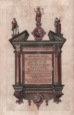
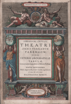
Abraham ORTELIUS
Code:
S48553
Measures:
255 x 380 mm
Year:
1624
Printed:
Antwerpen
Johannes JANSSONIUS
Code:
S48269
Measures:
208 x 157 mm
Year:
1628 ca.
Printed:
Amsterdam
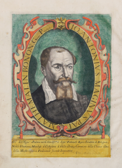
Giovanni Antonio MAGINI
Code:
S40275
Measures:
210 x 306 mm
Year:
1632
Printed:
Bologna
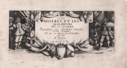
Jacques CALLOT
Code:
S30431
Measures:
190 x 90 mm
Year:
1633
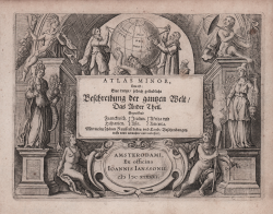
Willem Janszoon BLAEU
Code:
S9891
Measures:
290 x 410 mm
Year:
1634
Printed:
Amsterdam
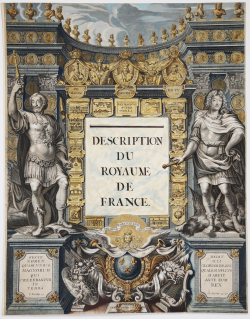
Jean BOISSEAU
Code:
S52557
Measures:
390 x 510 mm
Year:
1637
Printed:
Paris
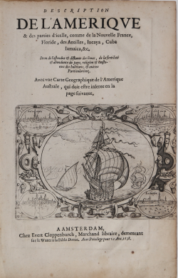
Jan Huygen van LINSCHOTEN
Code:
MS6345
Measures:
180 x 120 mm
Year:
1638 ca.
Printed:
Amsterdam
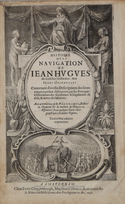
Jan Huygen VAN LINSCHOTEN
Code:
ms6387
Measures:
165 x 270 mm
Year:
1638
Printed:
Amsterdam
Willem Janszoon BLAEU
Code:
S28896
Measures:
275 x 410 mm
Year:
1640
Printed:
Amsterdam
Giacomo LAURO
Code:
S14026
Measures:
245 x 185 mm
Year:
1642
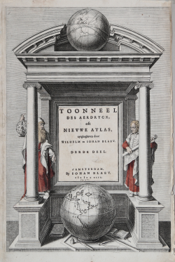
Willem Janszoon BLAEU
Code:
S40281
Measures:
200 x 327 mm
Year:
1644
Printed:
Amsterdam
Israel SILVESTRE
Code:
S41422
Measures:
247 x 138 mm
Year:
1645 ca.
Printed:
Paris