

| Reference: | S46052 |
| Author | John Bartholomew Jr. |
| Year: | 1879 |
| Zone: | United States |
| Printed: | London |
| Measures: | 615 x 445 mm |


| Reference: | S46052 |
| Author | John Bartholomew Jr. |
| Year: | 1879 |
| Zone: | United States |
| Printed: | London |
| Measures: | 615 x 445 mm |
From Black’s General Atlas of the World. Edinburgh: A. & C. Black, 1879.
Lithograph printed in colors, good condition.
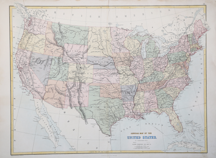
An interesting map of the United States by one of the leading British mapmaking firms of the nineteenth century. Adam and Charles Black issued atlases from the 1840s through the 1880s, working to keep their maps as up-to-date as possible.
This map shows the Dakota Territory and all of present day Oklahoma as “Indian Territory.”
John Bartholomew Jr.(1831 - 1893)
John Bartholomew Jr.(1831 - 1893)